Travel tips How to pack for a remote road trip

A road trip that’s way up on the list (and the map)
As Robert Frost once said, taking the road less traveled makes all the difference. What he didn’t mention is that one of those differences is you’ll find fewer gas stations along the way.
The four most rugged highways in the Yukon include the Dempster Highway from Dawson City, Yukon, to Inuvik, Northwest Territories; the Canol Road from Whitehorse, Yukon, to Norman Wells, Northwest Territories; the Robert Campbell Highway between Watson Lake and Carmacks; and the Silver Trail from Stewart Crossing to Mayo and Keno.
These epic routes aren’t for the faint of heart, but with some planning and a bit of know-how, they’re more than worth the effort. These tips can apply to all road trips in the Yukon, helping you make the most of your journey through this breathtaking wilderness.
Get Road-Trip-Ready
Pack smart
Before hitting the road, make sure you’re stocked up with a spare tire (or two!) and the tools needed to change it. Trust us, the Dempster Highway’s sharp shale can be a cruel companion. Don’t forget a windshield repair kit either. Even smooth highways like the Alaska Highway can leave your glass with a few unwanted chips, and the rougher roads up north can dish out even more.
Stay alert
Northern roads are different from the ones down south. Loose gravel and dirt (even when surfaces are paved) mean keeping an eye on your speed, even when the stretch is straight and empty. And remember, wildlife like elk, caribou, bears, and moose love to share the highway; they can appear out of nowhere, so stay sharp.
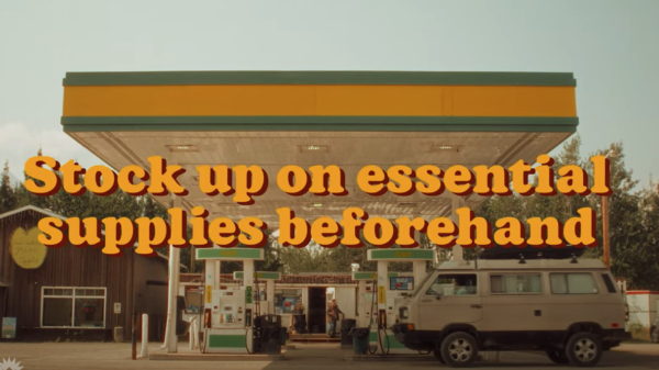
Plan like a pro
When travelling these remote roads, a little preparation goes a long way. Here's your checklist:
Fuel Up: Start with a full tank and bring along a couple of jerry cans filled with extra gas. Services are sparse out here!
Stock Supplies: Pack plenty of food and water, especially on trips crossing into the Northwest Territories where options can be limited.
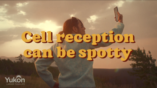
Get Connected (Even Without Service): Many Yukon highways have long stretches without cell service. A satellite phone is your best friend here, and you can rent one from Total North in Whitehorse. Cover all your bases, and you’ll be all set for a safe and unforgettable road trip.
Print out your maps and Travel Safely Guide: With limited cell service, it's best to have a good ol' fashioned map to guide your way. While you're at it, grab a copy of the Travel Safely in the Yukon Guide from one of the Visitor Information Centres to have on-hand as well.
Know before you go
The Yukon’s wild beauty is breathtaking, but its rugged terrain and remote roads require an extra layer of preparedness to ensure your trip stays safe and unforgettable. Before you head out, make sure to check out 511yukon.ca and grab a copy of the Travel Safely guide for detailed tips and advice on navigating this incredible region. From wildlife awareness to emergency planning, this guide covers everything you need to stay protected on your adventure.
Also, don’t forget to visit Yukon.ca/emergencies for up-to-date information on wildfires, floods, earthquakes and road closures to stay safe while you explore the Yukon’s majestic highways. A little preparation goes a long way in making your experience truly magical.
Make sure you're well-equipped as you head out for your adventures by downloading our 'Travel the Yukon Safely' guide.
Download now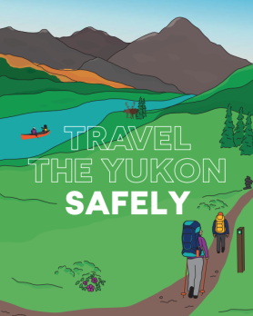
Choose the remote road trip that's right for you
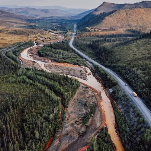
The Dempster Highway
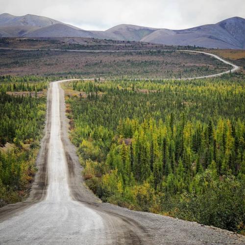
The Dempster Highway takes ‘end-of-the-road’ literally. This 700-km stretch ends in the town of Inuvik, but don’t stop there! Another 138 km on the Inuvik-Tuktoyaktuk Highway will take you all the way to the Arctic Ocean.
Fuel up at Eagle Plains, the one service station along the way. Each season brings its own challenges, so plan accordingly:
Spring: Wet road surfaces can make the drive slippery.
Summer: Expect dust if it’s dry.
Fall: You’ll get fewer fellow travellers, but the scenery will blow you away with rich yellows, reds, and oranges lighting up the horizon.
Cruise the Canol and Campbell Roads
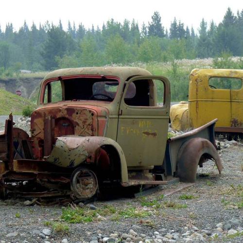
The Canol Road is a narrow and minimally maintained route, open only in the summer. It’s flanked by trees that close in tight, so take your time around the curves. You’ll find services at Johnson’s Crossing (which offers an RV park) and Ross River.
The Robert Campbell Highway is a bit smoother sailing at 583 km long and open year-round. Services are limited to cut-offs in Faro and Ross River, as well as campgrounds and lookouts scattered throughout. Don’t forget, Yukon campgrounds run on a self-registration system and are largely unstaffed.
Tour the Silver Trail
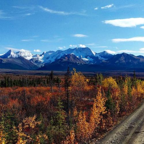
Nicknamed for the area's silver mining boom, the Silver Trail (Highway 11) runs for 110 km alongside the Stewart River. It’s paved up to Mayo, offering a relatively smooth ride, while the final stretch to Keno City is unpaved and more rugged.
This route is remote, with fewer than 500 year-round residents in the area. Services in Mayo include a gas station, campground and Interpretive Centre.
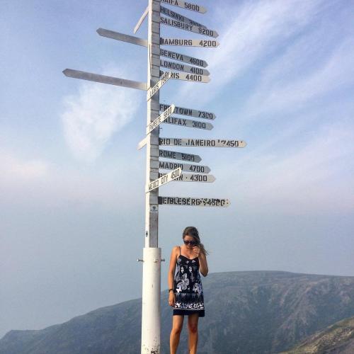
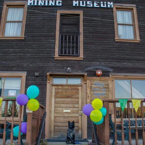
At the end of the road, Keno City (the Yukon’s smallest community) surprises visitors with its charm. Highlights include accommodations, a Mining Museum, and jaw-dropping views atop Keno Hill. Despite its size, it’s packed with everything you need for a comfortable stay.
Get Out and Explore
The Yukon’s rugged roads aren’t just paths; they’re experiences that take you deep into some of Canada’s most breathtaking landscapes. With the right preparation, a sense of humour, and a love for adventure, you’ll walk (or drive) away with stories you’ll talk about for years to come.
