Campbell
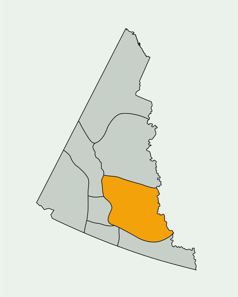
Campbell Region
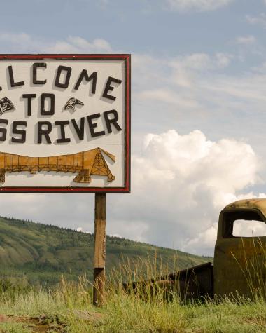
- CommunitiesFaro, Ross River
- Population700
The unspoiled Campbell Region includes thrilling wildlife viewing opportunities, an iconic mine site and more photo ops than one memory card can hold.
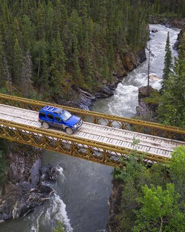
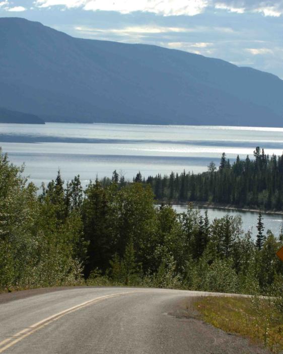
The Robert Campbell Highway leads through one of the Yukon’s most lightly developed, sparsely populated regions. Here, you can drive long stretches without seeing another vehicle and often have roadside rest areas all to yourself. If you’re looking for hot coffee on demand, be sure to bring your thermos.
Whether you’re admiring beautiful scenery behind the wheel, pulled over to read an interesting interpretive sign about the area, or strolling a panoramic lakeshore, give the wildlife you see plenty of space—luckily, there’s lots of that here.
The unspoiled Campbell Region includes thrilling wildlife viewing opportunities, an iconic mine site and more photo opps than one memory card can hold.
Things to know about the Campbell region
- The Campbell Region is named for the Hudson Bay's first traders in the area.
- Finlayson Lake (kilometre 231 on the Robert Campbell Highway) sits on the Continental Divide.
- The Faro Arboretum is the most northerly arboretum in Canada. Another quick fact: an “arboretum” is a botanical garden.
Start planning your trip
Plan your unforgettable trip in the Campbell Region
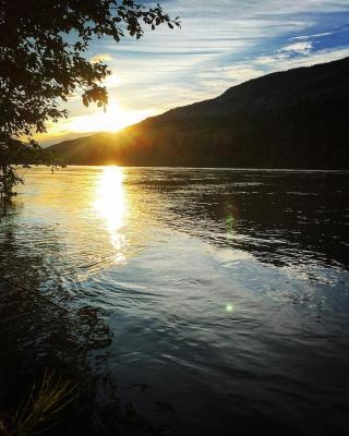
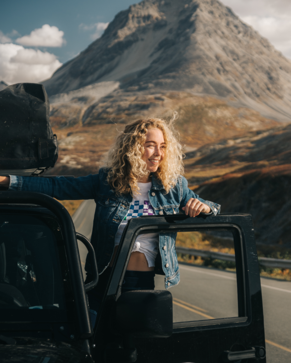
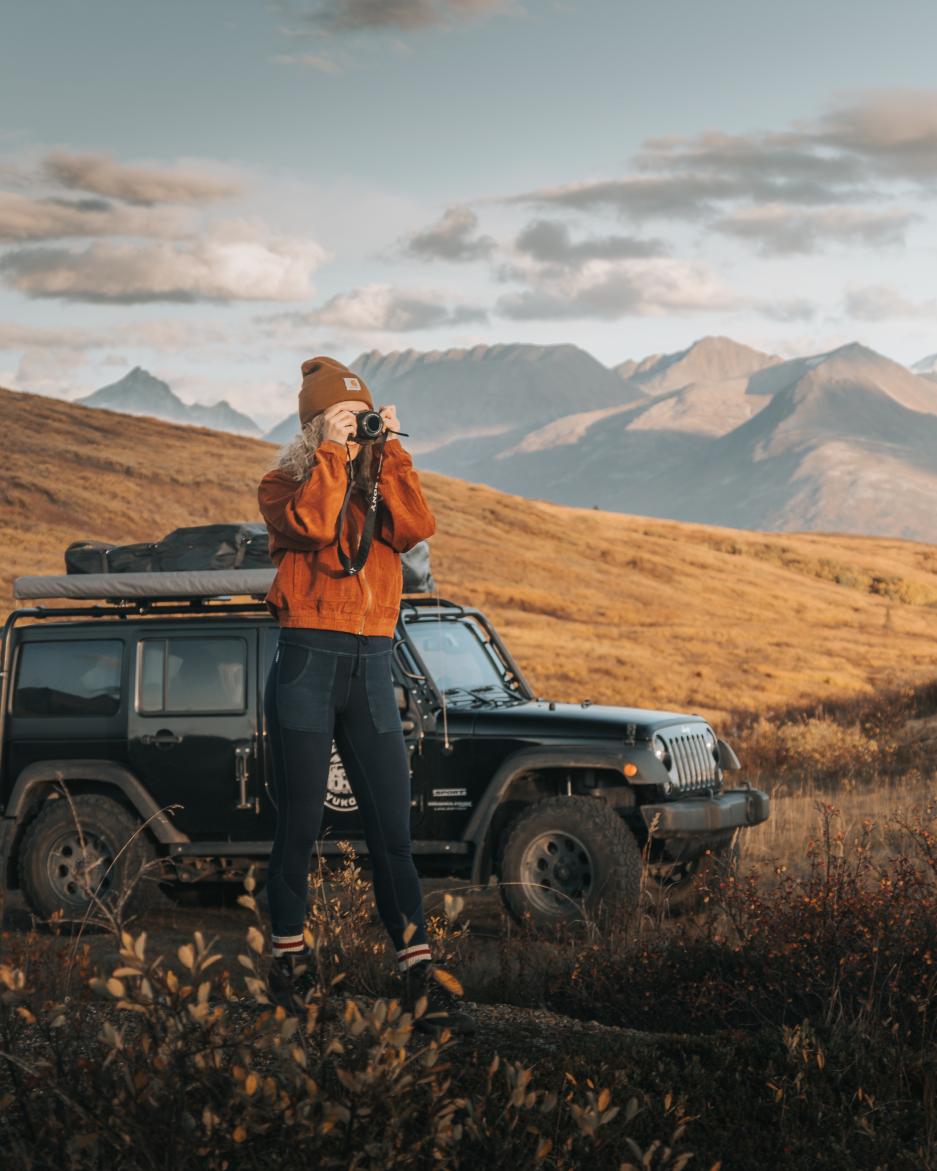
Picture the scene, you're driving down the highway at golden hour, the warm rays of the sun drench the hillsides in a honey-glaze as caribou forage for wild flowering tundra plants, a shy calf is nestled between the legs of its mother. Now picture missing all of that because you failed to plan ahead. Stumble across priceless scenes like this and more by booking your vehicle, planning your route and securing your accommodation.
A secluded spot full of life
Despite venturing into the solitude of the back country, there can still be a rush hour of the Yukon variety. These locations are prime spots for migratory animals deep in the wilderness, so there won't be any beeping of horns, just a few honks from geese or a grumble from a moose.
